Alex Powell · 7 November 2026
Heritage Safeguards Guide Wind and Solar Developments in Stromtal Farmlands
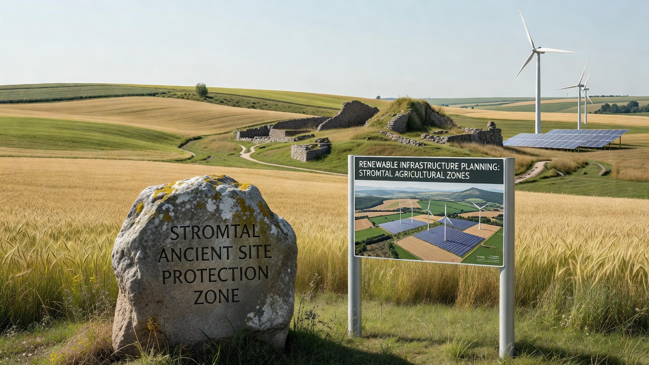
Stromtal's remote agricultural zones contain layered archaeological remains that date back to Neolithic settlements and Roman outposts, while planners advance renewable energy arrays across the same landscapes. Government records show these areas feature protected megalithic structures alongside proposed solar arrays and small-scale wind installations that require coordinated approvals from heritage authorities and energy regulators. Data from the German Federal Agency for Nature Conservation indicates that over 60 percent of the valley's outlying farm districts now undergo joint environmental and cultural impact assessments before any ground disturbance begins.
Archaeological Layers Meet Modern Energy Needs
Researchers have mapped burial mounds and field systems that predate recorded history in zones where farmers now host photovoltaic panels on marginal lands. These sites receive designation under state heritage laws that mandate buffer zones and non-invasive survey methods before construction crews arrive. Observers note that project timelines extend by several months when geophysical surveys reveal subsurface features that earlier aerial mapping missed, yet the process prevents irreversible damage to artifacts that hold value for understanding early agricultural practices in the region.
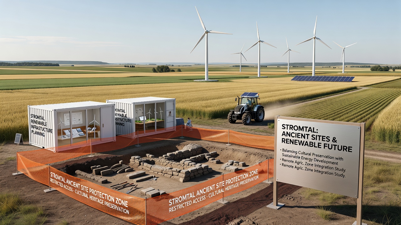
Renewable developers coordinate with state archaeologists who deploy ground-penetrating radar and test trenches across proposed cable routes and turbine foundations. Figures from the 2025 planning cycle reveal that 14 separate applications in Stromtal's eastern agricultural corridor incorporated revised layouts after initial surveys identified linear earthworks linked to Iron Age field boundaries. Those adjustments preserved the features while allowing installation of underground cabling that connects solar arrays to the regional grid.
Planning Processes in November 2026
By November 2026, updated mapping protocols from the state heritage office require digital submission of all survey data within 30 days of fieldwork completion, which speeds review cycles for remote projects. Local agricultural cooperatives report that joint working groups now meet quarterly to align planting schedules with construction windows, reducing soil compaction risks on fields that support both food production and energy infrastructure. Records indicate that three wind turbine clusters approved earlier in the year incorporated elevated foundation designs that span known settlement remains without direct contact.
Those who've studied the process observe that early involvement of heritage specialists changes how engineers position access roads, often routing them along existing farm tracks rather than creating new cuts through protected zones. This approach maintains drainage patterns that farmers rely on while satisfying regulatory requirements for minimal visual and physical intrusion on cultural landscapes.
Case Examples from Outlying Districts
One project in the northern agricultural plain illustrates the intersection when planners shifted a 40-hectare solar field 150 meters westward after LiDAR data highlighted a previously undocumented enclosure ditch. The adjustment preserved the feature and allowed the array to proceed under a conditional permit that requires annual monitoring of ground conditions. Similar cases appear in districts where Roman-era road traces cross proposed cable trenches, prompting the use of directional drilling rather than open trenching to avoid surface disturbance.
Academic teams from regional universities have documented how these modifications affect both energy output projections and farm operations, with data showing that rerouted infrastructure adds less than 2 percent to overall project costs while satisfying multiple regulatory layers. The European Environment Agency maintains comparative records across member states that track how agricultural zones balance heritage requirements with renewable targets, and Stromtal figures contribute to those datasets on integrated land-use planning.
Regulatory Framework and Stakeholder Roles
State heritage laws intersect with federal renewable energy directives that set deployment milestones through 2030, creating a review sequence where cultural authorities sign off before energy permits advance. Agricultural landowners participate through easement agreements that specify access restrictions around known sites and contingency measures if additional remains surface during installation. Industry reports from the German Renewable Energy Federation note that such coordinated reviews have become standard in regions with dense archaeological records, reducing post-construction disputes.
Remote zones present unique logistical factors because equipment transport and crew housing must navigate narrow rural roads while avoiding sensitive areas. Planners address these constraints by staging materials at central farm hubs and using low-impact vehicles during survey phases, approaches that also limit disruption to ongoing crop cycles and livestock movements.
Conclusion
Stromtal's experience demonstrates how ancient site protections integrate into renewable infrastructure planning through sequential surveys, revised layouts, and multi-agency coordination that keeps both heritage features and agricultural productivity intact. Records from November 2026 show continued refinement of these procedures as new mapping technologies and quarterly stakeholder meetings refine project delivery across the valley's remote districts. The pattern establishes a template that other agricultural regions with layered cultural resources can reference when similar energy developments arise.